
On Saturday 10 October 2026, we took the ideas from the presentation «Humanising the Earth Sciences» out into the field. The Los Molinos Georoute, in Alájar, was the second session of the 1st Conference on Geotourism in the South-West of the Iberian Peninsula and the first implementation of our pilot project.
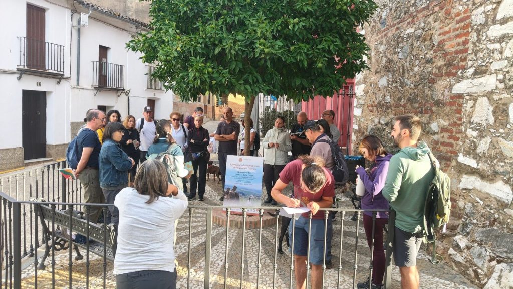
Departure from Alájar
We met at 9.30 am next to St Mark’s Church. From there, we walked along a 5.4 km round-trip trail to the viewpoint, guided by Dr Helena Chacón.
Reading the landscape with all the senses
Along the way, we made several stops to explore the rocks and the landscape: to touch the outcrops, observe them at our leisure and understand how the terrain beneath our feet had been formed. It wasn’t about cramming in facts, but about making geology feel accessible and ensuring it stayed in our memories.
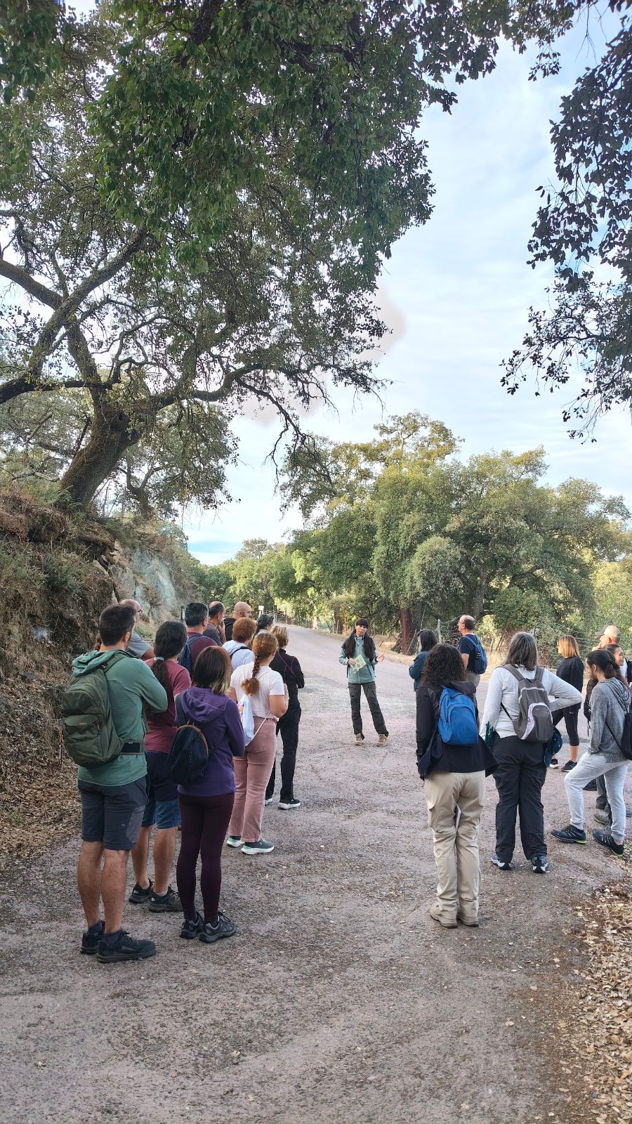
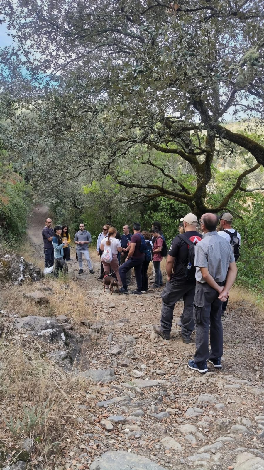
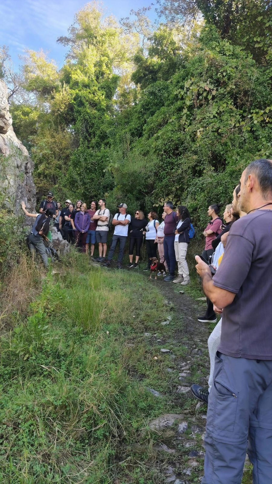
Drawing to see better
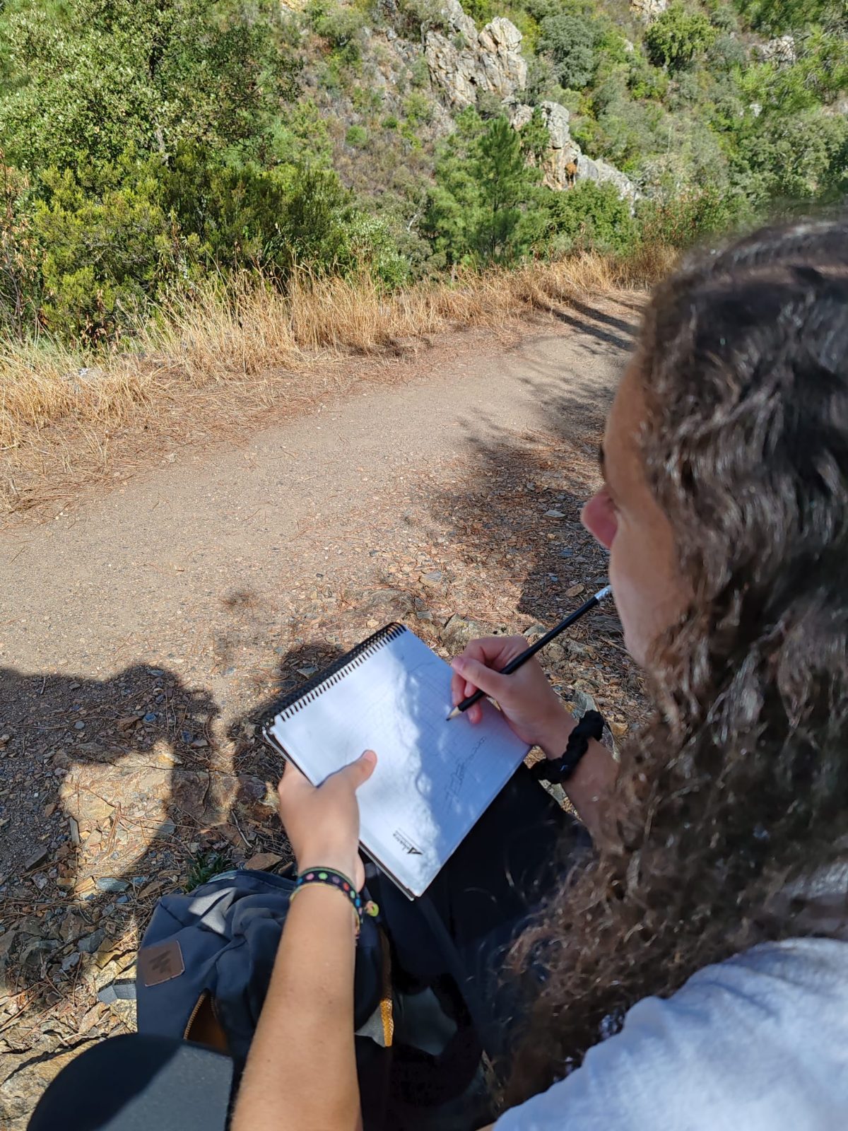
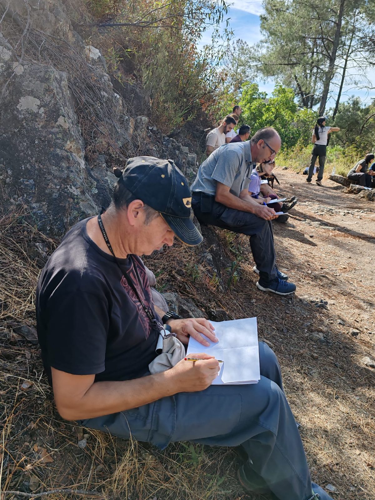
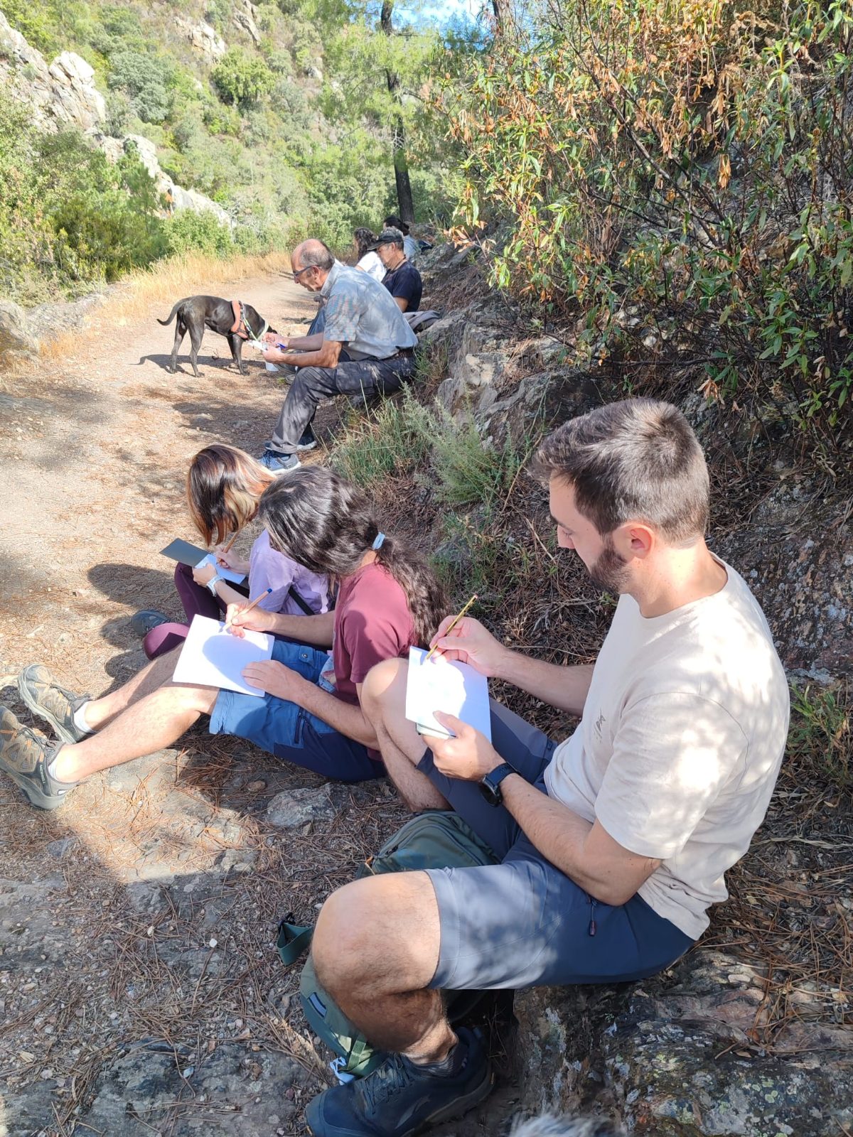
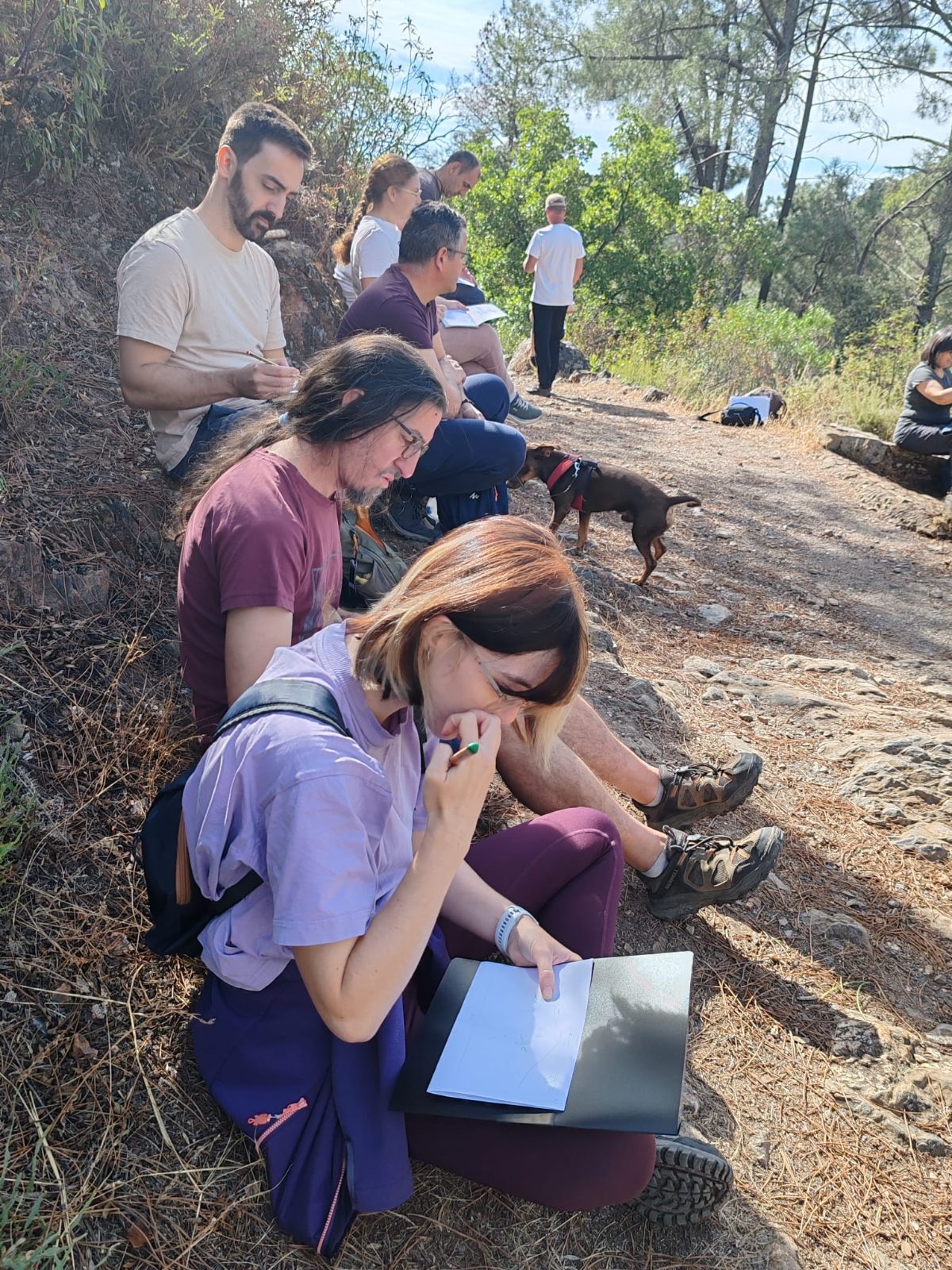
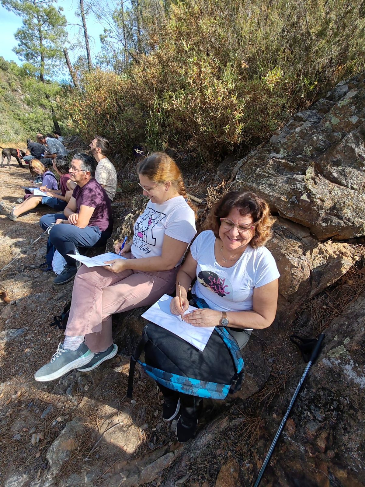
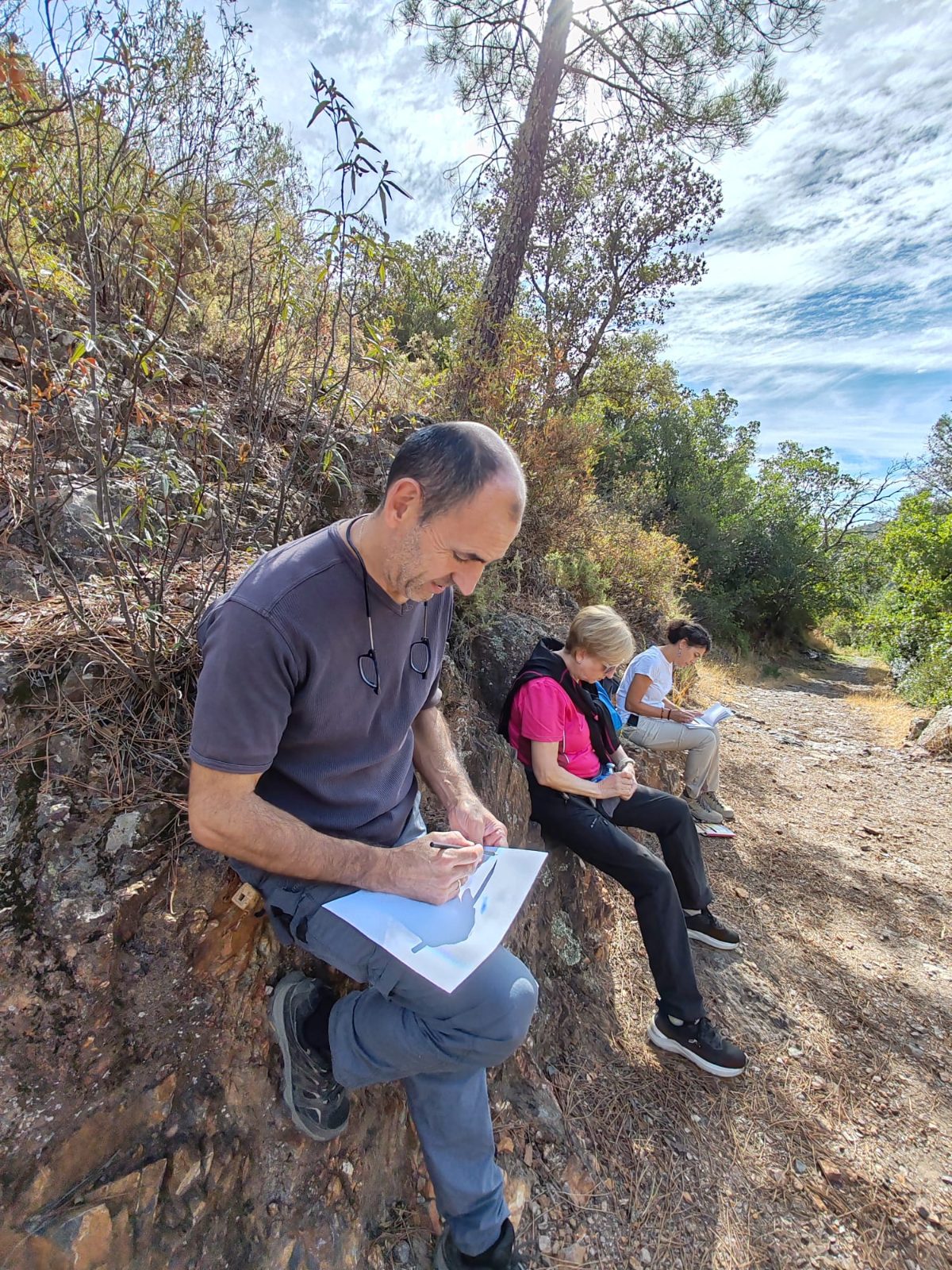
At one of the stops, we sat by the side of the road, next to the rocks, with paper and pencil. Drawing forces you to look slowly, to take in the shapes and to decide what is important. You didn’t need to know how to draw: everyone found their own way of capturing the landscape on paper.
The viewpoint
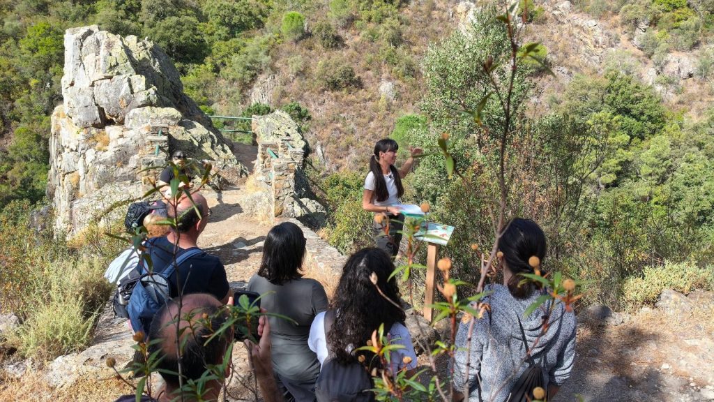
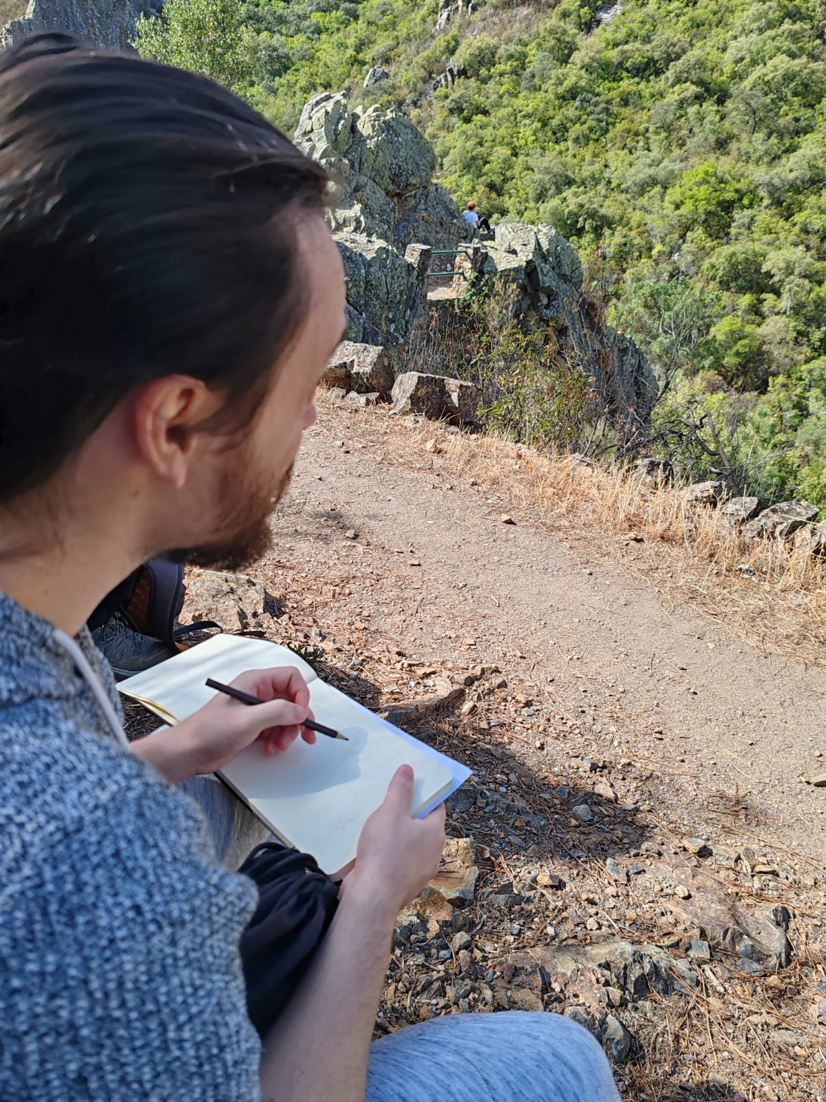
At the viewpoint, with the landscape stretching out before us, the geological history of the mountain range began to make sense on a grand scale. There, we took out our notebook once more: after the whole walk, the landscape no longer looked the same.
A notebook full of earth
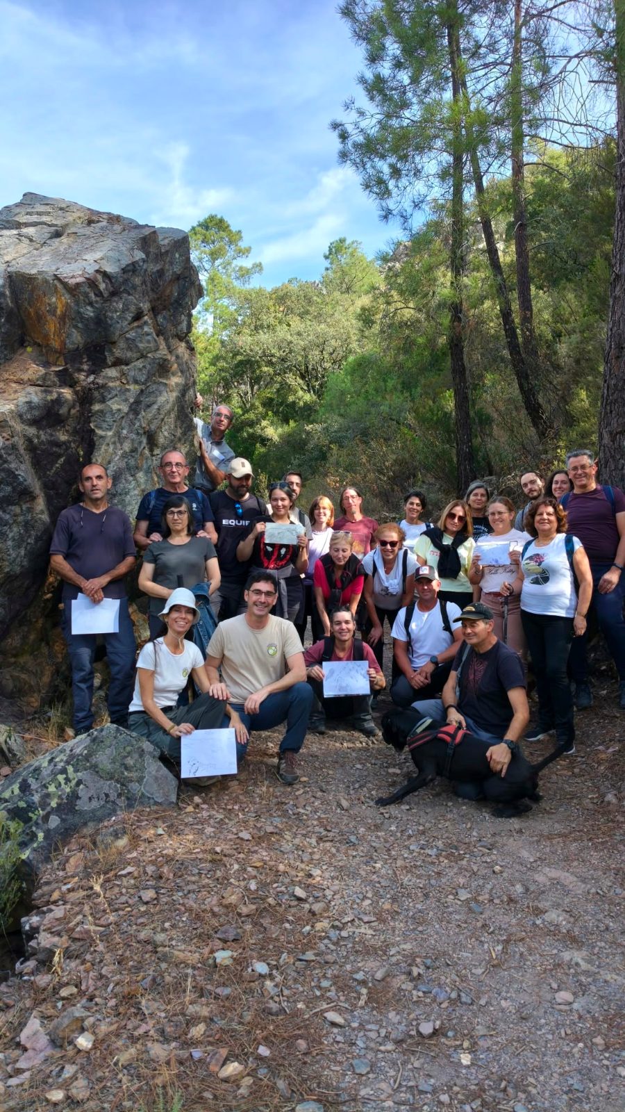
We finished with a group photo in which each participant is holding their sketch made in the field. For us, this is the best proof that the method works: each sketch is a personal way of remembering the place.
A pilot project
This geotrail forms part of the pilot project «Humanising the Earth Sciences», through which we are investigating how perception, narrative and drawing influence our understanding of the landscape and our appreciation of geological heritage. If you’d like to find out more about the ideas behind it, you can take a look at the full paper.
All the information about the conference can be found at holisticanature.com/geojornadas. And if you’d like to do this route with your group, you can find it at Alájar GeoTrail – Los Molinos.
Thank you
To everyone who walked, observed and drew with us. See you at the 2nd Conference!