ALÁJAR
GeoTrail: "Los Molinos Trail"
Walk across the seabed of the ancient Rheic Ocean
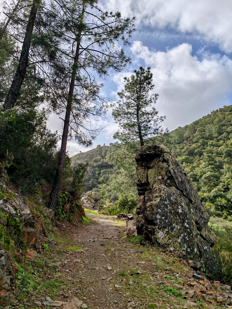
As we walk along this trail, we will be captivated by the beauty of this magical path whilst discovering how geology has shaped a landscape of gentle hills and a dense network of rivers that has sustained ecosystems and cultures over the centuries.
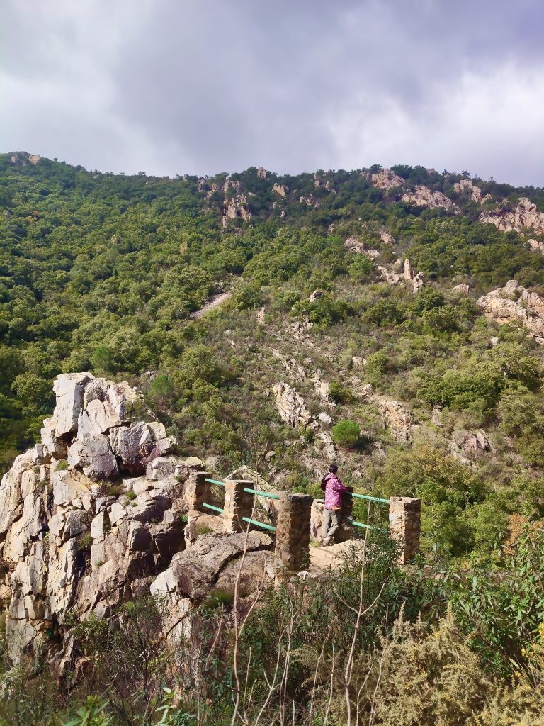
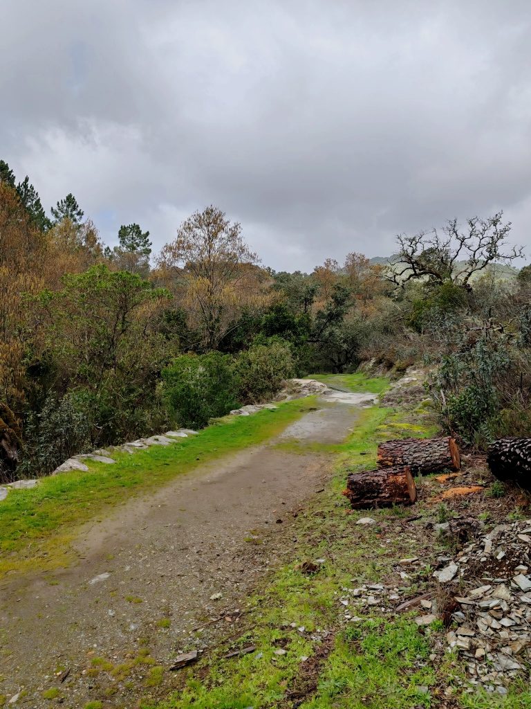
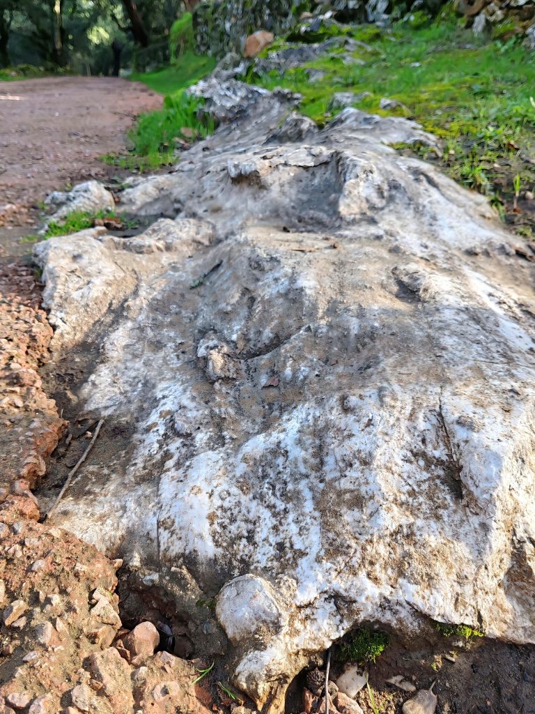
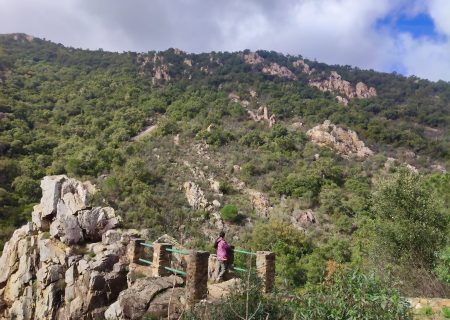
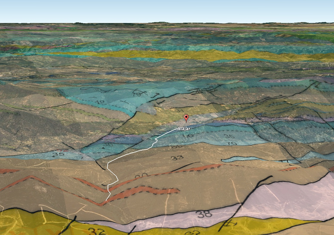
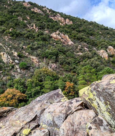
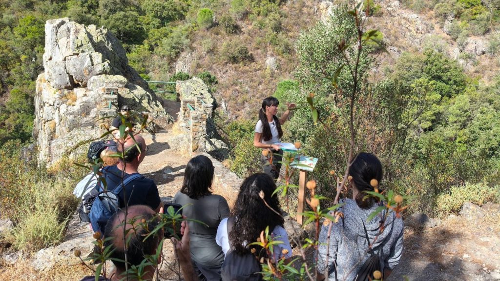
In the GeoTrail of Los Molinos (Alájar) walking alongside the Rivera de Alájar to the viewpoint of the same name. On the way there, we will make a series of stops at rock outcrops that will help us understand the key events that took place in the region more than 300 million years ago.
GEOLOGY:
- We will walk amongst ancient marine sediments and fragments of oceanic crust belonging to the vanished Rheic Ocean.
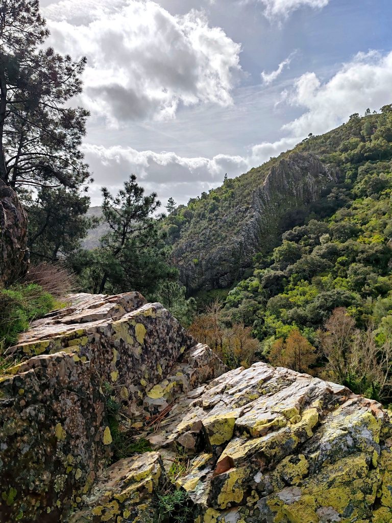
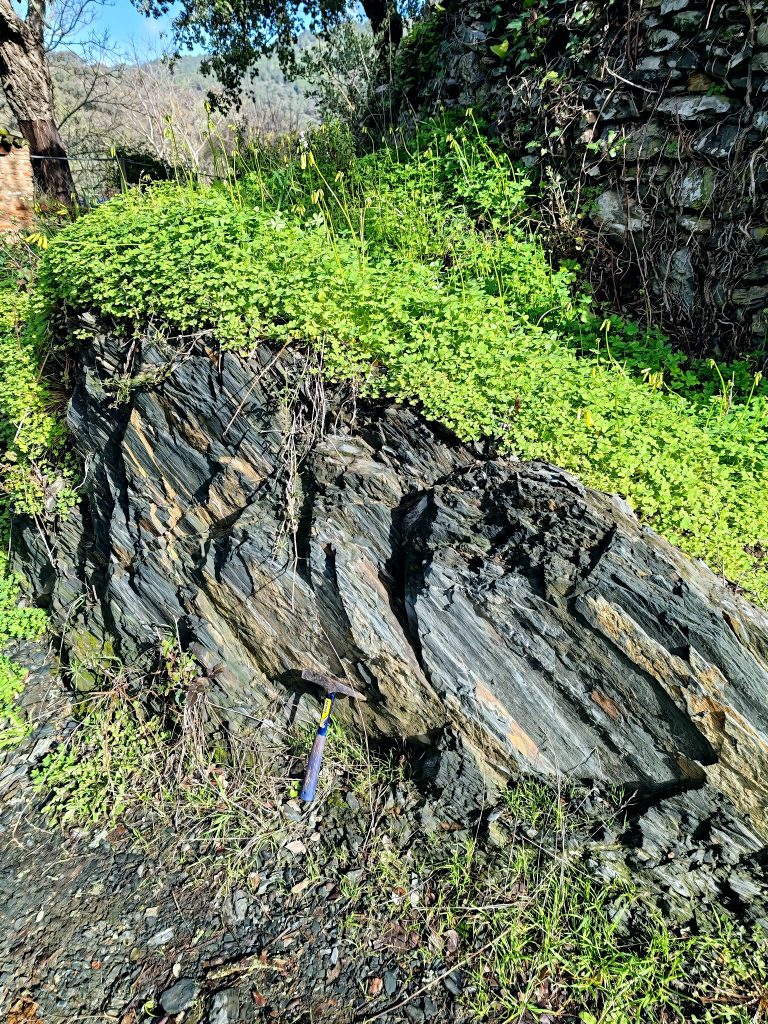
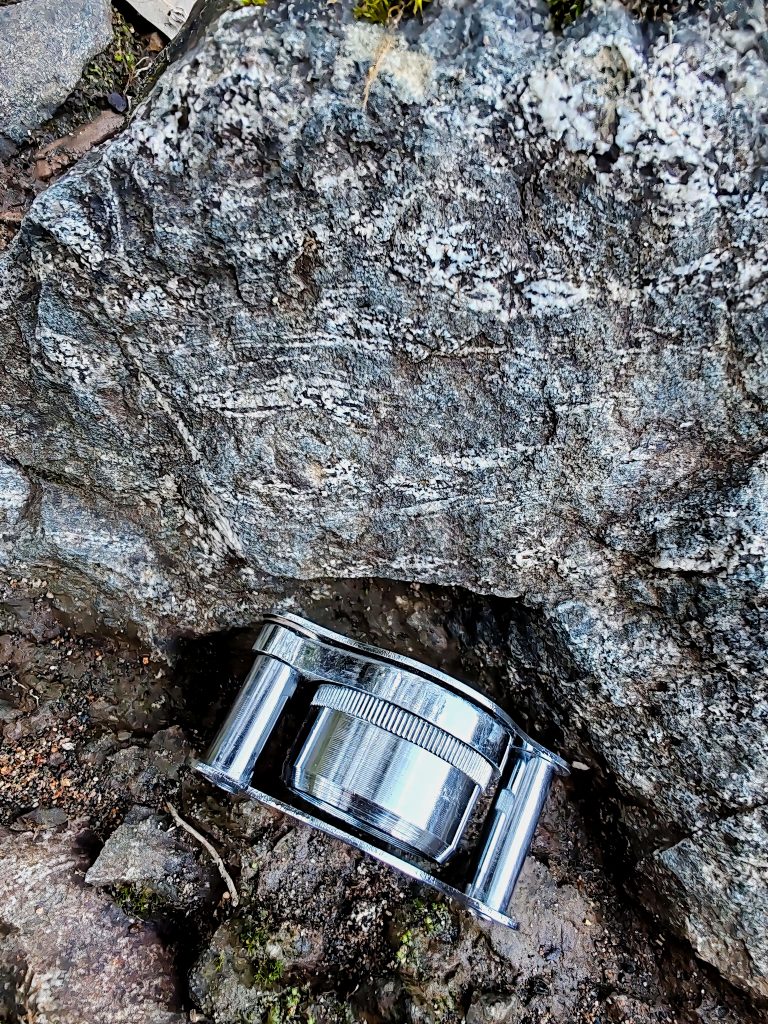
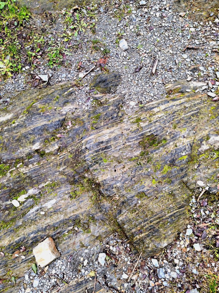
- We will see for ourselves, the main outcrops along the trail, learning to recognise rock-forming minerals and the effects of metamorphism
- We will provide a contextual framework for the rocks, understanding their geological significance as a stronghold and evidence of the Variscan collision that took place between Armorica and Avalonia.
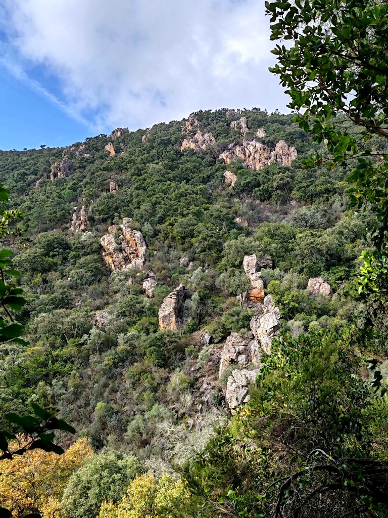
- We will examine how the geological record has shaped the present-day landscape (differential erosion, faults, etc.), enabling us to broaden our perspective and re-evaluate our place in time and on Earth.
FEATURES:
Meeting Point: Church of San Marcos (Alájar)
Distance: 5.4 km (there and back)
Max. altitude: 564 m / min: 463 m
Elevation gain: 100.8 m
Level: Low – Medium
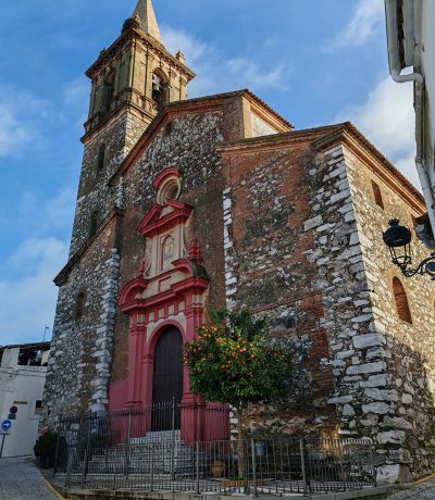
ASÍ FUE EN LAS I JORNADAS DE GEOTURISMO
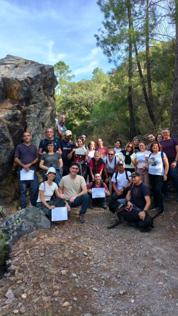
On 10 October 2026 we walked this trail with a large group as part of the 1st Geotourism Conference of South-West Iberia: we interpreted the landscape, touched the outcrops and drew them in our field notebooks.
WOULD YOU LIKE TO DO THIS GEOTRAIL?
SCHEDULED DATES
We run this outing on set dates from time to time. Check our upcoming in-person events to see whether it is scheduled
BOOK ON THE DATE OF YOUR CHOICE
Request this route for yourself and your group. Tell us how many people and which date you would like