EL REPILADO
GeoBioTrail: "Riverside Trail between El Repilado and Los Romeros"
Walk among rocks, water and ancient lineages of life
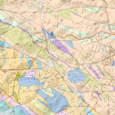
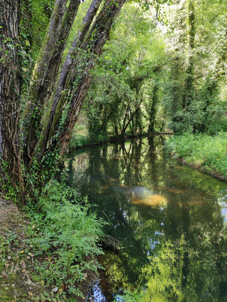
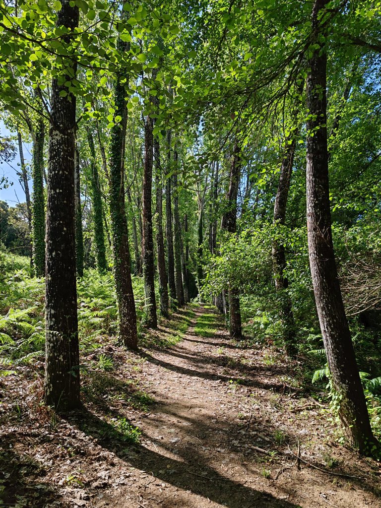
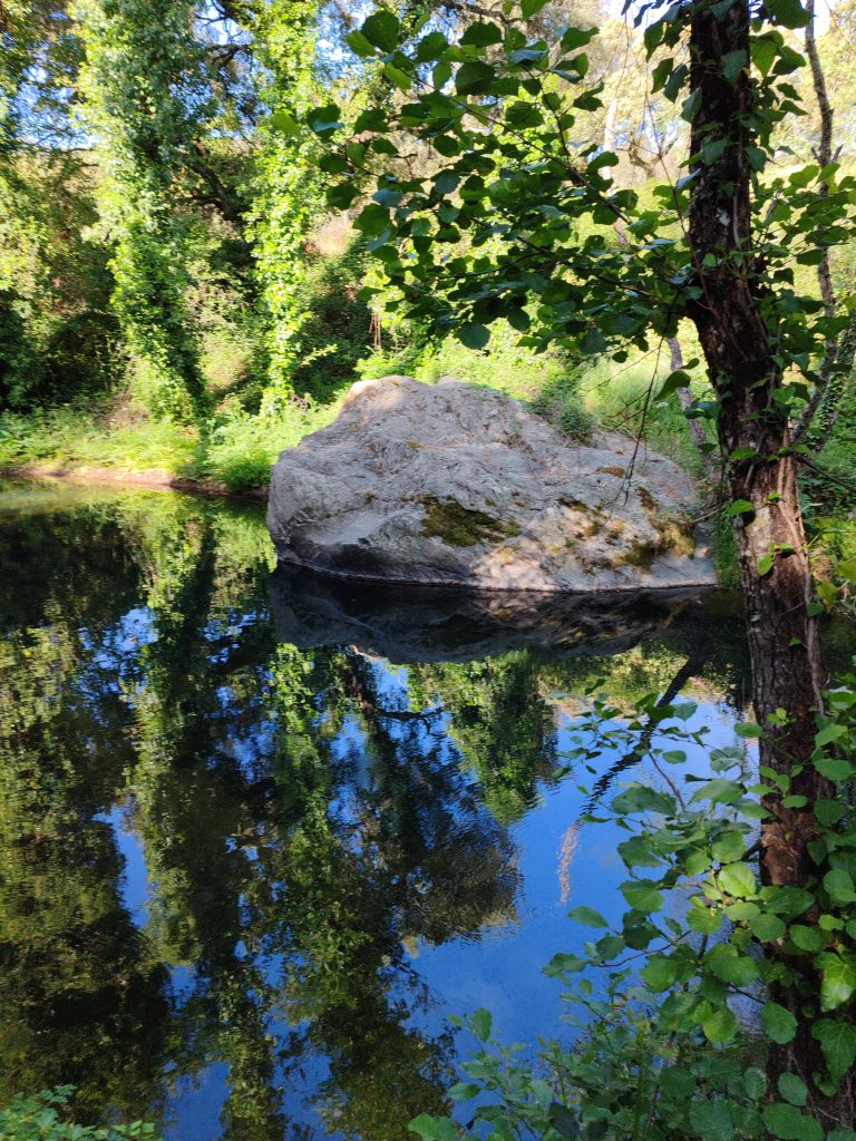
Along this riverside trail, we will be immersed in the beauty of a landscape where water connects earth and life, while rocks and plants take us on a journey from the Sierra's geological past to the landscape we see today.
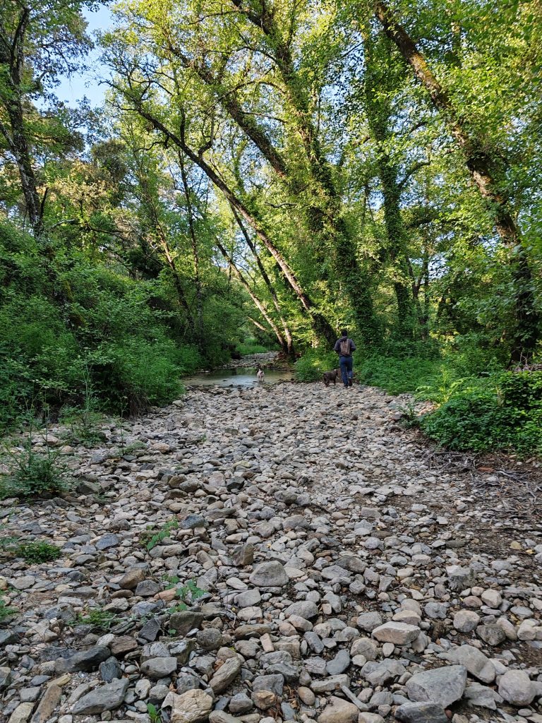
In the El Repilado–Los Romeros GeoBioTrail, we will follow the stream to the area around the Barranco de Los Romeros, discovering how water, rocks and plants are closely interrelated. Along the trail we will make several interpretive stops to learn the stories hidden in the rocks and in the ancient plant lineages we come across, and to understand how geology and life have changed over hundreds of millions of years.
GEOLOGY
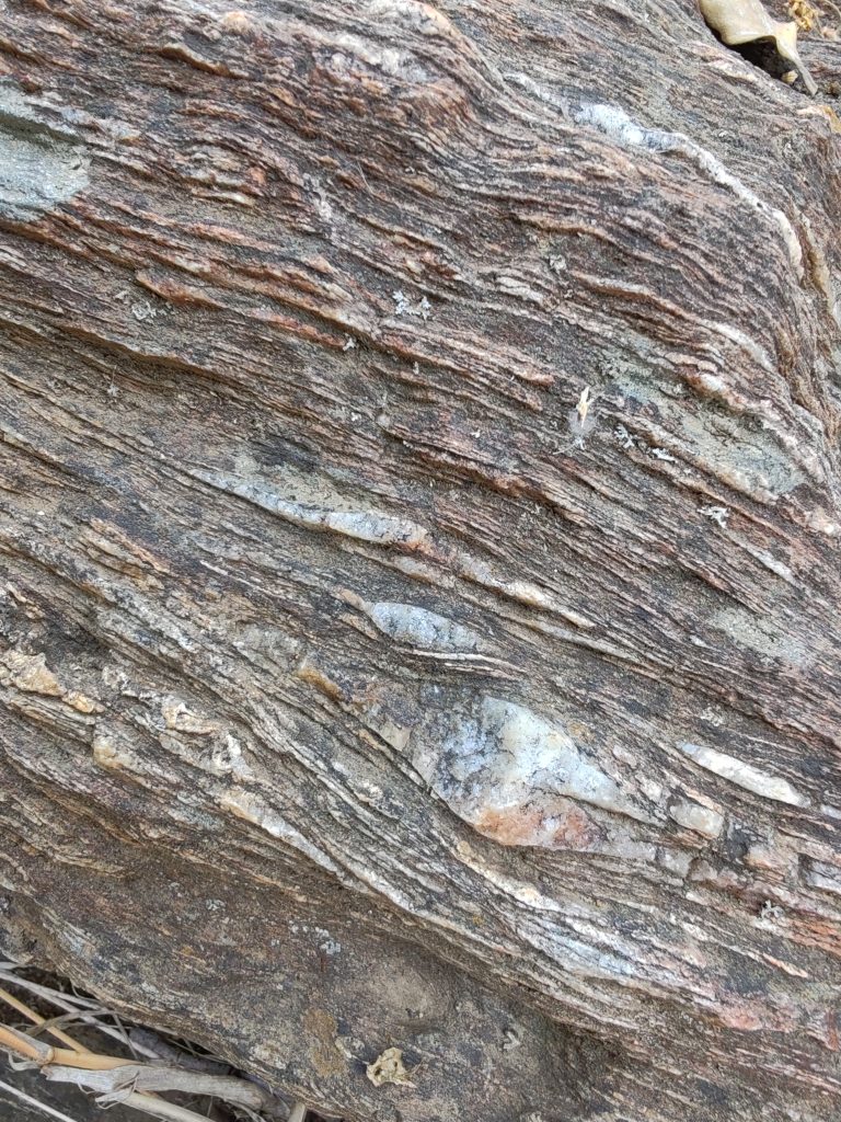
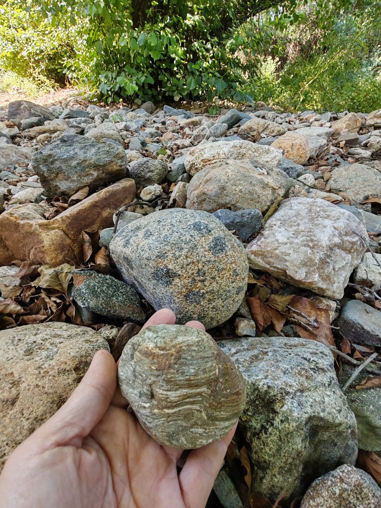
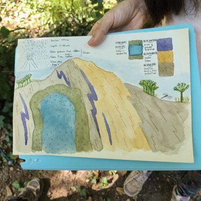
We will walk on rocks that formed deep inside the Earth during the Variscan orogeny, hundreds of millions of years ago, when the great mountain ranges that shaped the geological history of this land were raised.
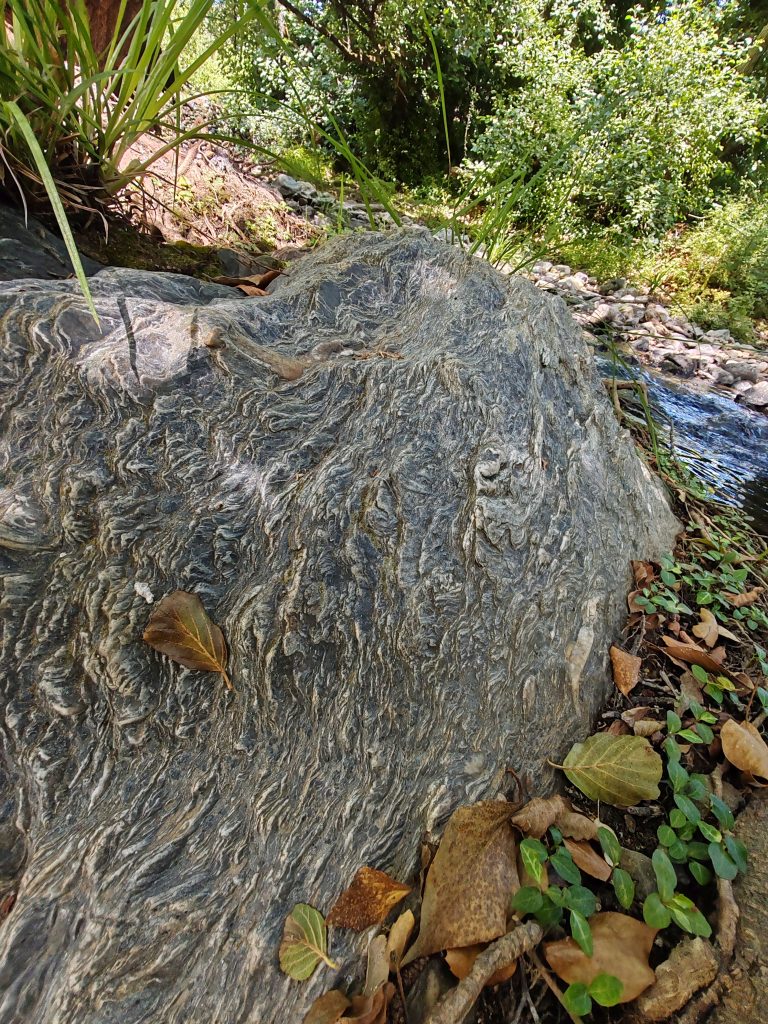
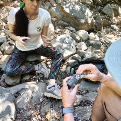
We will look at different rocks and minerals, exploring their composition and the processes they underwent after forming, such as contact metamorphism caused by the heat of ancient magmatic intrusions.
We will discover how hot fluids circulating through the rocks could alter their composition and encourage the growth of new minerals, leaving in them the imprint of processes that took place at great depth.
We will understand how geology, water and erosion have helped to shape the relief and to create the conditions that make possible the landscape we walk through today.
BIOLOGY
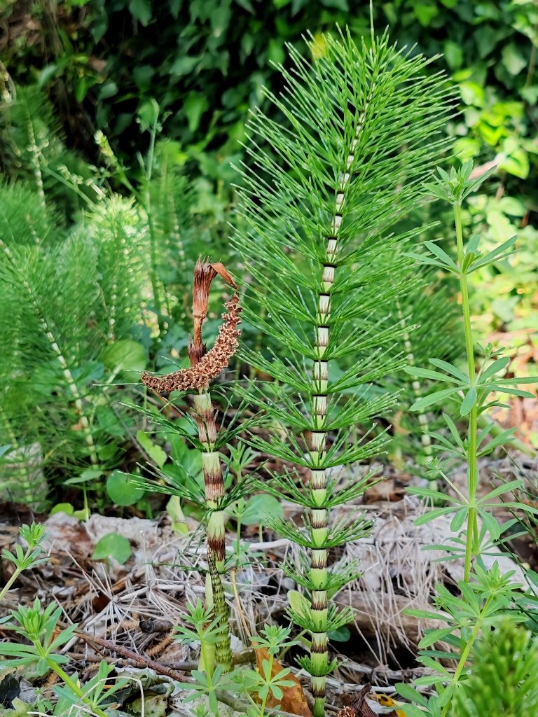
We will discover how some of the plants we find belong to ancient plant lineages, whose evolutionary history goes back hundreds of millions of years, to an Earth very different from today's.
We will relate the trailside vegetation to the conditions provided by water, observing how moisture, soil and proximity to the stream govern the distribution of plant life.
We will travel back to the Carboniferous to understand how the great forests of primitive plants, after millions of years of burial and alteration, contributed to the formation of coal deposits.
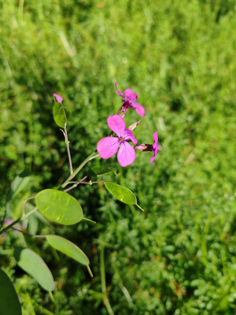
We will also observe the far more recent arrival of flowering plants and discover how different moments in the history of life coexist today in a single landscape.
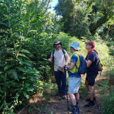
FEATURES:
Meeting Point: Picnic area just outside El Repilado
Distance: 6 km (there and back)
Max. altitude: 509 m / min: 425 m
Elevation gain: 76 m
Level: Moderate
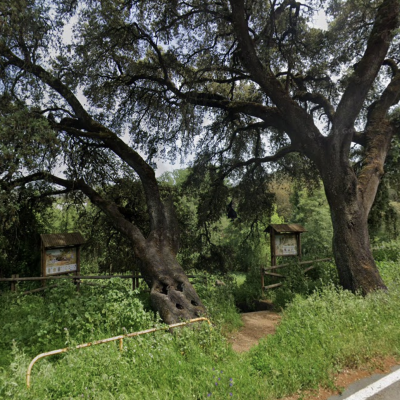
WOULD YOU LIKE TO DO THIS GEOBIOTRAIL?
SCHEDULED DATES
We run this outing on set dates from time to time. Check our upcoming in-person events to see whether it is scheduled
BOOK ON THE DATE OF YOUR CHOICE
Request this route for yourself and your group. Tell us how many people and which date you would like