
Field trips in geology and environmental sciences for schools
Scientifically rigorous environmental education in the Sierra de Aracena y Picos de Aroche. Programmes lasting 1 to 4 days for pupils aged 12 to 18, in Spanish or English.
The best Earth sciences laboratory has no walls. In the Sierra de Aracena, your pupils touch 500 million years of geological history, measure a river, read air quality in lichens and see how a dehesa balances nature and human activity. And they go back to the classroom with data of their own.
We design every trip with the teachers: we start from your curriculum and learning objectives, and take care of the rest.
How we work
Learning through research
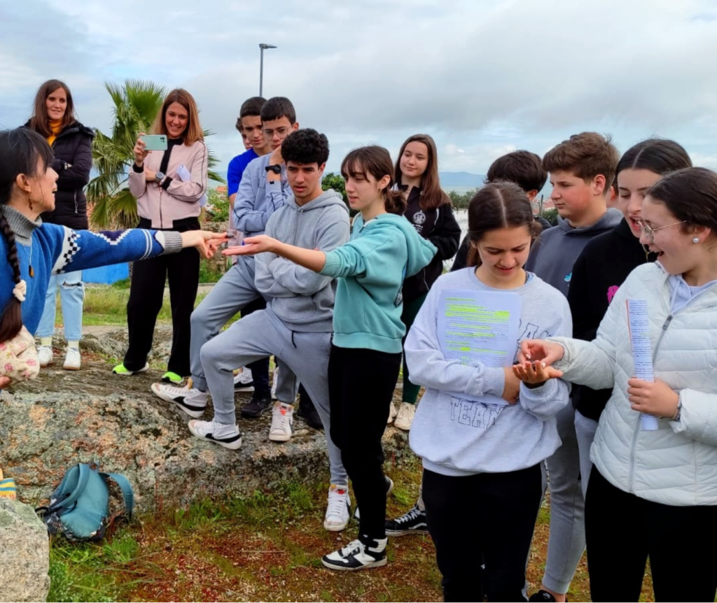
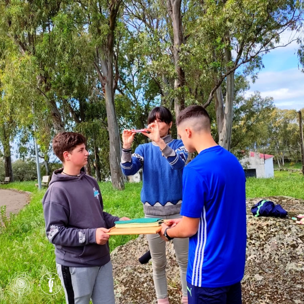
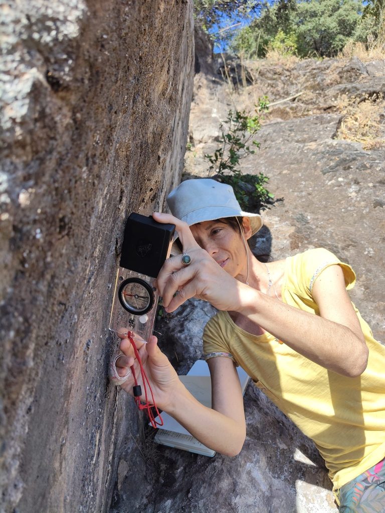
- Science done by the pupils. This isn’t a guided tour: on every trip, the pupils take measurements, make observations and record their own data using scientific field equipment, which we provide.
- Linked to the curriculum. Each trip sets out the subjects, year groups and content it covers, so teachers can build it into their schemes of work.
- Built for enquiry. We propose research questions; each pupil chooses one or adapts it as their own.
- Worksheets. Each pupil is given a worksheet setting out the procedure and the tables for recording their data. The data is then analysed in class.
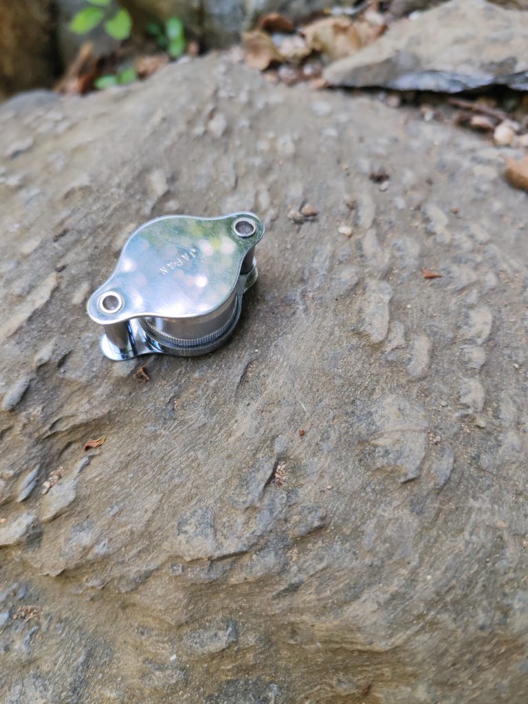
- Scientific equipment. Workstations with digital pH meters, conductivity meters and thermometers; nitrate, phosphate and hardness test kits; tape measures, floats and stopwatches.
- Simple logistics. The school only needs a coach to the agreed meeting point (Aracena, Riotinto, etc.). For groups travelling from further afield, we also organise accommodation and transfers.
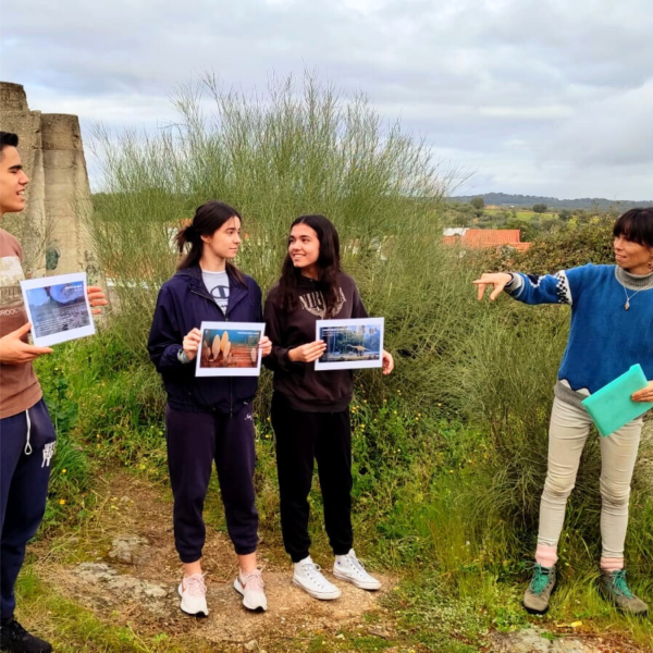
Day trips
Five field trips to start with
Each field trip has a theme and includes two or three practical activities, and fits ESO (ages 12–16) Biology and Geology, and Geography and History. These serve as a starting point: we also design bespoke field trips tailored to your curriculum.
1. The river that gives life
Water and land use in the Múrtigas Valley
River flow, land use along the valley, and the lievas, the valley’s traditional irrigation channels.
Location: the spring at Fuenteheridos, La Nava and Presa de Gaspar
Subjects: Geography and History · Biology and Geology
Admission: none
2. Forests of the Sierra
Pyrenean oak woodland, riverside woodland and dehesa
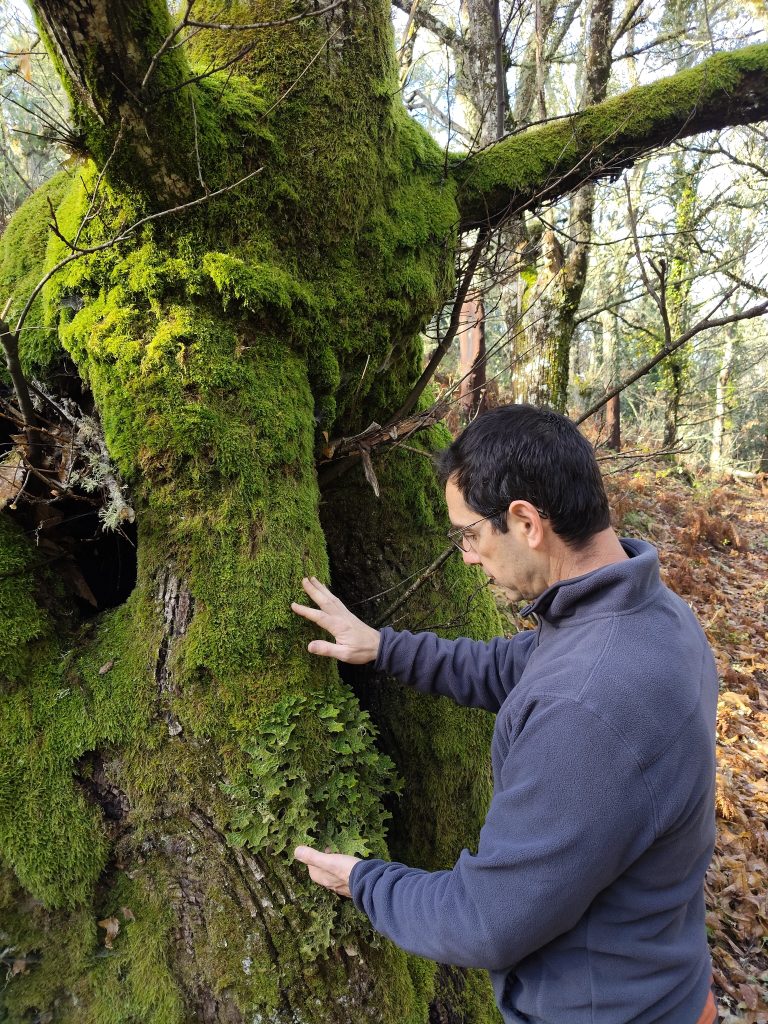
Identification of plants using a dichotomous key, bird counts, lichen cover, useful plants and animal tracks.
Location: three neighbouring environments along the same path
Subjects: Biology and Geology · Geography and History
Admission: none
3. Chestnuts, livestock or tourism
How does the Sierra make a living?
Regeneration of chestnut groves and dehesa, managed and abandoned farms, and two villages compared through their population pyramids.
Location: Castaño del Robledo and Corteconcepción
Subjects: Biology and Geology · Geography and History
Admission: none
4. A river from another planet
Riotinto: mining, acid water and life in extreme conditions
Water pH before and after the mining area, minerals formed with the help of bacteria, life in extreme conditions and the recolonisation of spoil heaps.
Location: Campofrío reservoir, Peña de Hierro mine and the source of the River Tinto
Subjects: Biology and Geology · Geography and History
Admission: guided tour of the Peña de Hierro mine
5. The rock that dissolves
Marble, water and time
Marble and travertine, the chemistry of spring water, the karst landscape of Cerro del Castillo and the formation of speleothems (stalactites, stalagmites and columns).
Location: Peña de Arias Montano (Alájar), Cerro del Castillo and Gruta de las Maravillas (Aracena)
Subjects: Biology and Geology · Geography and History
Admission: Gruta de las Maravillas
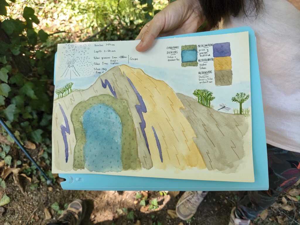
Field notebook workshop with Helena Chacón: this can be added to any trip.
In Bachillerato (ages 16–18)
Their own data, their own report
The five field trips also work for Bachillerato students, at a more demanding level: each pupil formulates their own question, collects data in teams, analyses it with statistical tools and submits a short report.
- Data analysis: Simpson’s diversity index, Spearman’s correlation, the Mann-Whitney U test or the chi-squared test.
- Links to the Andalusian PAU (university entrance exam): climate graphs and population pyramids (Geography) and interpreting geological cross-sections (Geology and Environmental Sciences).
- Subjects: Biology, Geology and Environmental Sciences (1st year) · Geology and Environmental Sciences (2nd year) · Biology (2nd year) · Geography (2nd year).
IB Diploma Programme · Environmental Systems and Societies (ESS)
For internal assessment
We provide the locations, the measuring equipment and the method; each pupil formulates their own research question and writes their report individually. Data collection may be carried out in teams, in accordance with IB guidelines.
Option A
One day · A river from another planet
Water quality (pH, conductivity, temperature, nitrates, phosphates and hardness) inside and outside the mining area, and a survey of local residents and visitors regarding their views on mining and mining tourism.
Topics 1, 4 and 7
Option B
Two days · Riotinto and Múrtigas
Option A plus a day in the Múrtigas Valley: river flow, downstream water quality and land use. With one night’s accommodation in the Sierra, or run on two separate dates.
Topics 4 and 5
Option C
One day · Forests of the Sierra
Biodiversity of the Pyrenean oak woodland, riverside woodland and dehesa, using quadrats, bird and lichen counts, the Simpson index and a statistical test.
Topics 2 and 3
Programmes with accommodation
For schools travelling from further afield
For schools and colleges from other regions or countries, we combine several field trips into a multi-day programme and organise accommodation in the Sierra and transport.
Field course
3 days, with accommodation
Three combined field trips, for example A River from Another Planet, The Rock That Dissolves and Forests of the Sierra, with sampling methods to enable pupils to design their own research.
Bachillerato, IB and A-level
A-level Field Trip Week
4 days, with accommodation
Two days on physical geography and two on human geography (rural depopulation, tourism, management of the Natural Park) to fulfil the required fieldwork days and prepare for the individual research project (NEA).
A-level
Curriculum alignment
From the curriculum to the field
| Curriculum | Subjects | What the trip offers |
|---|---|---|
| LOMLOE | ESO: Biology and Geology · Geography and History Bachillerato: Biology, Geology and Environmental Sciences (1st year) · Geology and Environmental Sciences, Biology and Geography (2nd year) |
Observation of rocks and geological processes, ecosystems, environmental impacts and sustainability; practising PAU exercises (climate graphs, population pyramids, geological cross-sections) |
| IB Diploma Programme | Environmental Systems and Societies (ESS), Geography, Biology | Data collection for internal assessment; case studies of socio-ecological systems |
| British curriculum | A-level and IGCSE/GCSE Geography, A-level Environmental Science | A-level: the required 4 days of fieldwork and the individual research project (NEA) GCSE/IGCSE: field research in contrasting environments |
What’s included
Fixed-price quote within 48 hours
Includes
- Two guides: a geologist and an environmental educator
- Trip design tailored to the group and its content
- Scientific field equipment
- Worksheets for each pupil (in Spanish or English)
- Advance site survey and risk assessment for each location
- Admission fees (Peña de Hierro mine, Gruta de las Maravillas), depending on the trips chosen
Residential programmes also include:
- Full-board accommodation in the Sierra
- Transport during the stay
- Transfers from Seville or Faro Airport, on request
Not included: travel to the meeting point or lunch on day trips (each pupil brings their own).
We provide a fixed price per pupil. The price depends on the number of pupils, the duration and the visits you choose.
Residential programmes are booked through a partner travel agency in Aracena, as a fully protected package holiday.
Safety and assurances
What you need to get the trip approved
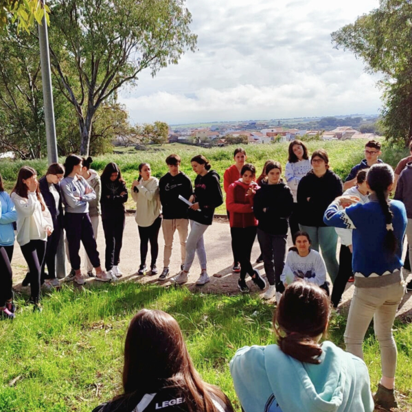
- Civil liability insurance covering €600,000 per claim, specifically for outdoor activities.
- Company registered with the Andalusian Tourism Register as an organiser of active tourism activities (AT/HU/00121).
- Accident insurance and assistance for participants resident in Spain. Groups coming from other countries are covered by their institution’s travel insurance.
- Guides hold a clearance certificate from Spain’s Central Register of Sex Offenders and are trained in first aid and basic life support.
- We survey every location before the trip and send you its risk assessment. We live in the Sierra: we know the access routes and the state of rivers and paths in every season.
- A maximum of 20 pupils per guide (12 for waterside activities), always accompanied by teaching staff from the school.
- Alternative plan for days when it rains or when it is extremely hot.
Who will be guiding you
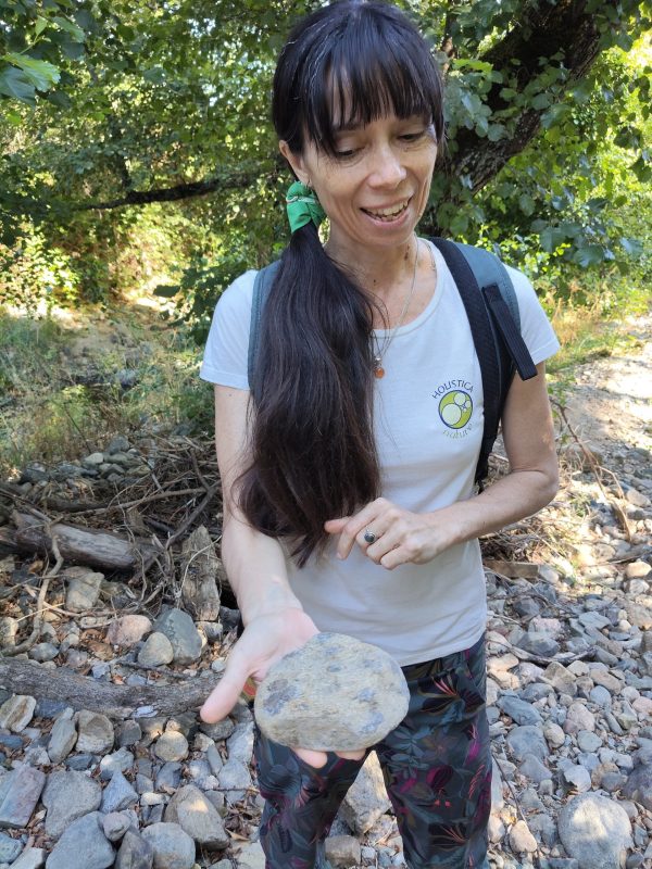
Helena Chacón
PhD in Geology
PhD in Geology with European Doctorate Mention from the University of Huelva (summa cum laude), with research in geochemistry and petrology. Spanish postgraduate teaching qualification (CAP). She leads geology field trips and field notebook workshops.
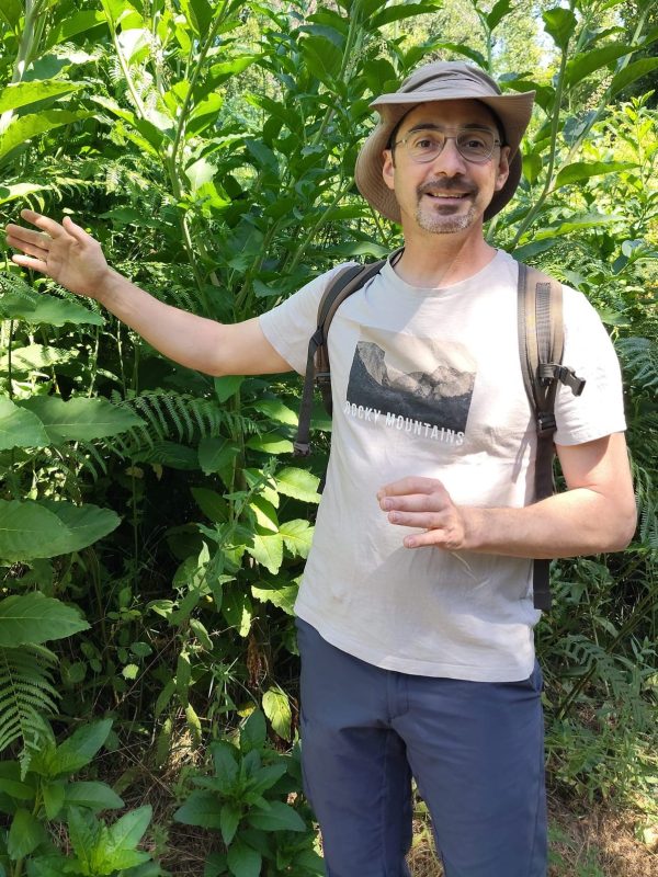
Javier Muriel
Environmental educator and nature guide
Environmental educator. He leads BioTrails and GeoTrails in the Natural Park and interprets the ecosystems of the Sierra. Currently studying for a degree in Environmental Sciences (UNED).
We live and work in Navahermosa (Galaroza), within the Natural Park.
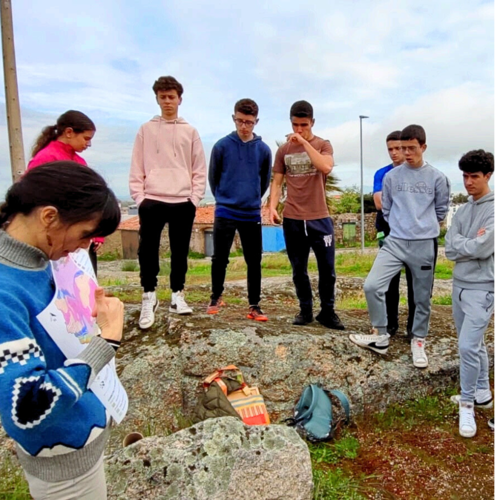
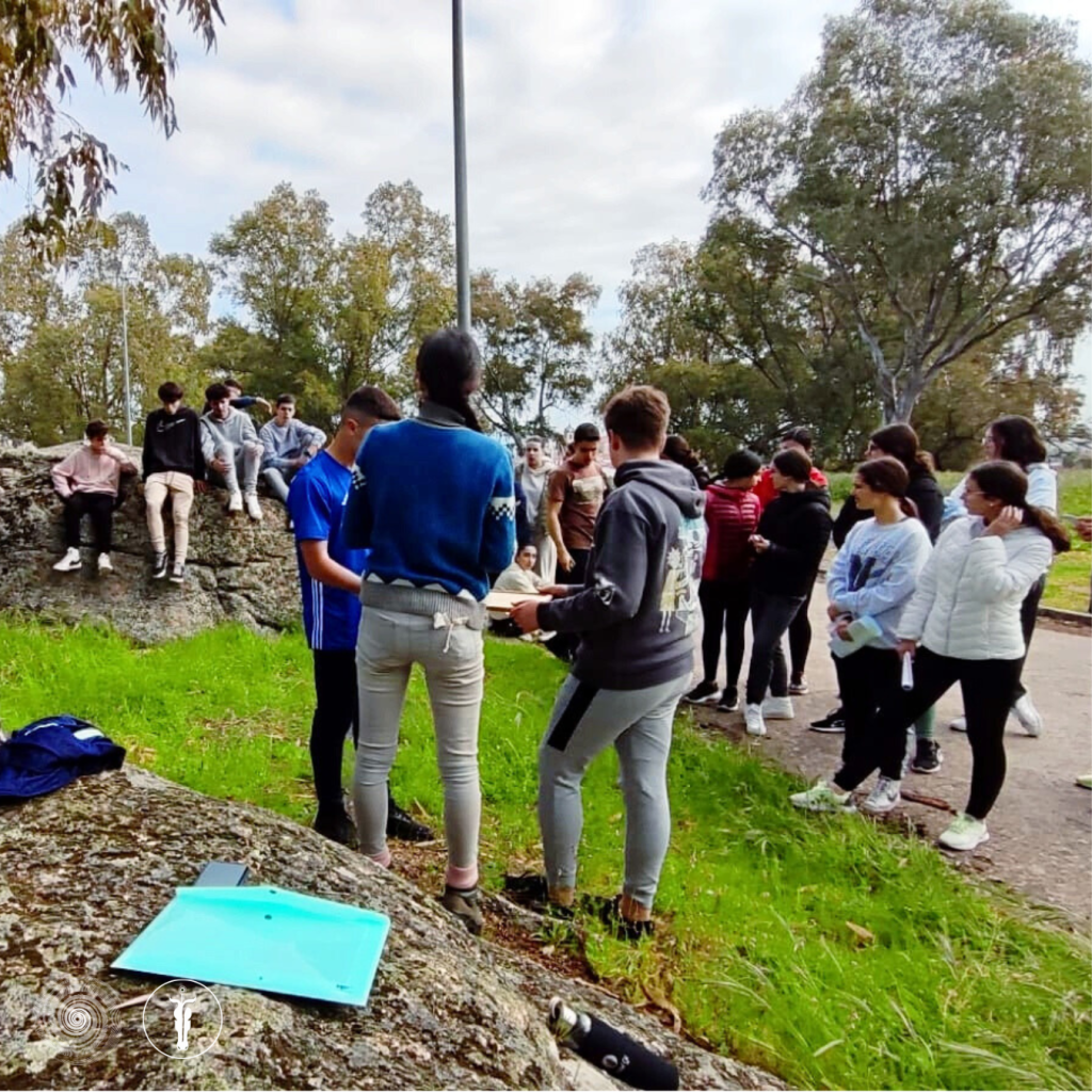
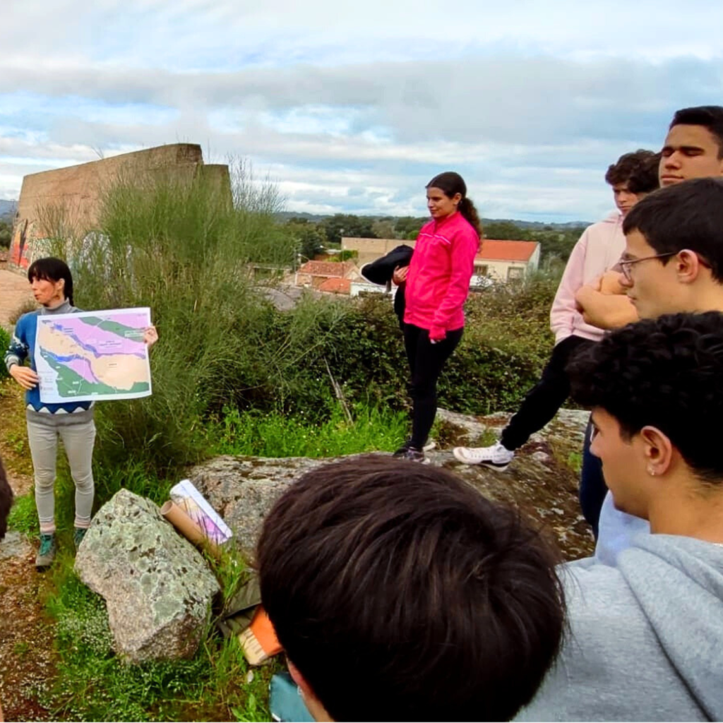
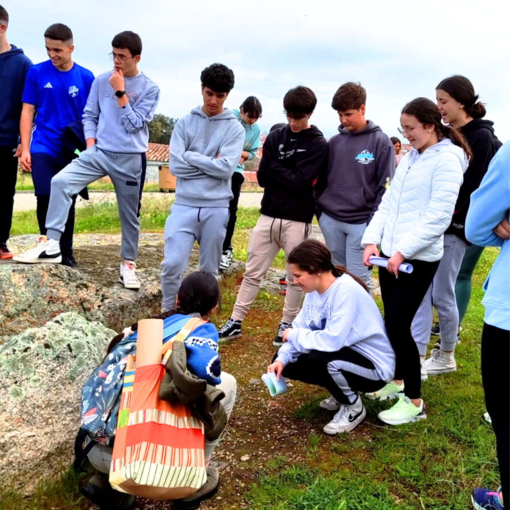
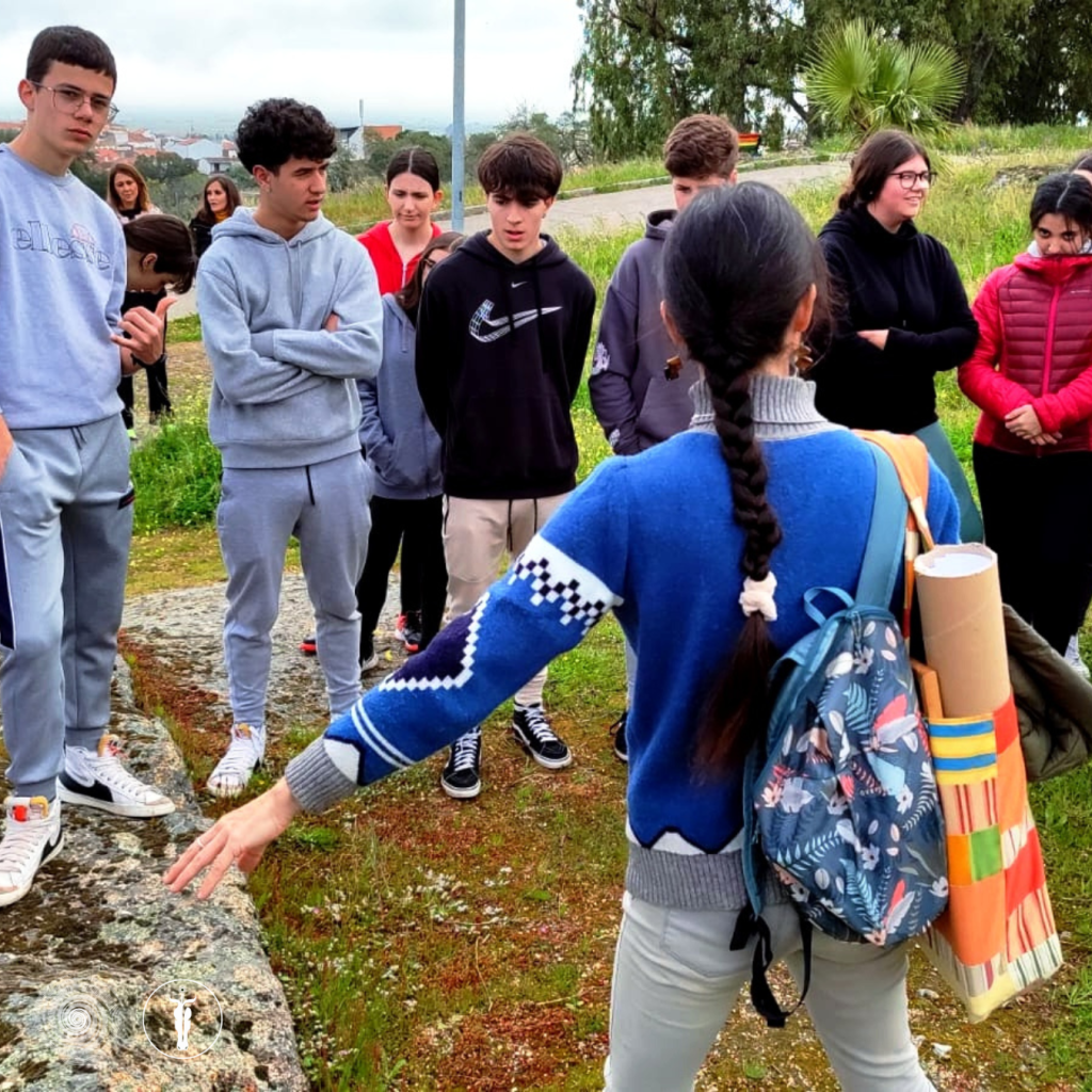
Experience with schools. We have led geology field trips for secondary school pupils, such as the geological walk with IES Joaquín Sama, and Nature Journaling workshops for children with the Alas Nature Interpretation Centre and San Vicente de Alcántara Town Council (Badajoz).

Frequently Asked Questions
How do we get there? We’re about 90 minutes’ drive from Seville Airport and from the city of Huelva, and about 2 hours 30 minutes from Faro Airport. The meeting point is agreed with the school (Aracena, Riotinto, etc.).
When is the best time of year? Every time of year has its own appeal: in spring the rivers are fuller, autumn is ideal for the woods, and in summer we can work in rivers or on the coast. We adapt every trip to the season.
In which language? In Spanish or English. The worksheets are available in both languages.
What do pupils need to bring with them? Walking boots, layered clothing, water and food. We’ll send you a list once you’ve confirmed.
What if it rains? Every trip has a wet-weather alternative: a geology museum, a cave or indoor work.
Can you cater for allergies and special requirements? Yes. Please let us know when you request a quote and we’ll tailor it accordingly.
Do you organise a preliminary visit with the teaching staff? Yes, it is free for the teacher organising the trip (the school covers their travel, accommodation and meals).
Contact
Request a quote
Please write to us at info@geolatra.com or via WhatsApp on +34 636 78 11 67 and we’ll send you a quote within 48 hours. To help us put this together, please let us know: school and town, curriculum and year group, subject, number of pupils, possible dates, duration (1, 2–3 or 4 days), language, and whether you need transport or accommodation.